Three lakes, one shoreline standard
Lake Norman, Lake Wylie and Mountain Island Lake are all impoundments of the Catawba River, all owned and operated by Duke Energy, and all governed by the same shoreline program. What changes between them is scale, character and community. This page compares the three, and each gets its own deep section below.
The ledger
| Field | Lake Norman | Lake Wylie | Mountain Island Lake |
|---|---|---|---|
| Surface area | 32,500 acres | 13,400 acres | 3,281 acres |
| Shoreline | 520 miles of shoreline | ~325 miles of shoreline | ~61 miles of shoreline |
| Created | Full pool in 1963 | Dammed in 1904 | Dammed in 1924 |
| Counties | Mecklenburg, Iredell, Lincoln, Catawba | Mecklenburg and Gaston in NC, York in SC | Mecklenburg and Gaston |
| Communities | Mooresville, Cornelius, Davidson, Huntersville and more | Belmont, Gastonia, Lake Wylie, Tega Cay and more | Charlotte, Huntersville, Mount Holly, Belmont |
| Character | Max depth ~110 ft | Established, tree-lined coves | Narrow, sheltered channels |
Figures compiled from public records and operating data for the Catawba-Wateree chain. Verify any figure relevant to a specific lot with its survey and shoreline permit.
Each lake, its own plate
Enter a lake section for the full authority treatment: field notes, towns, due diligence and market intelligence.
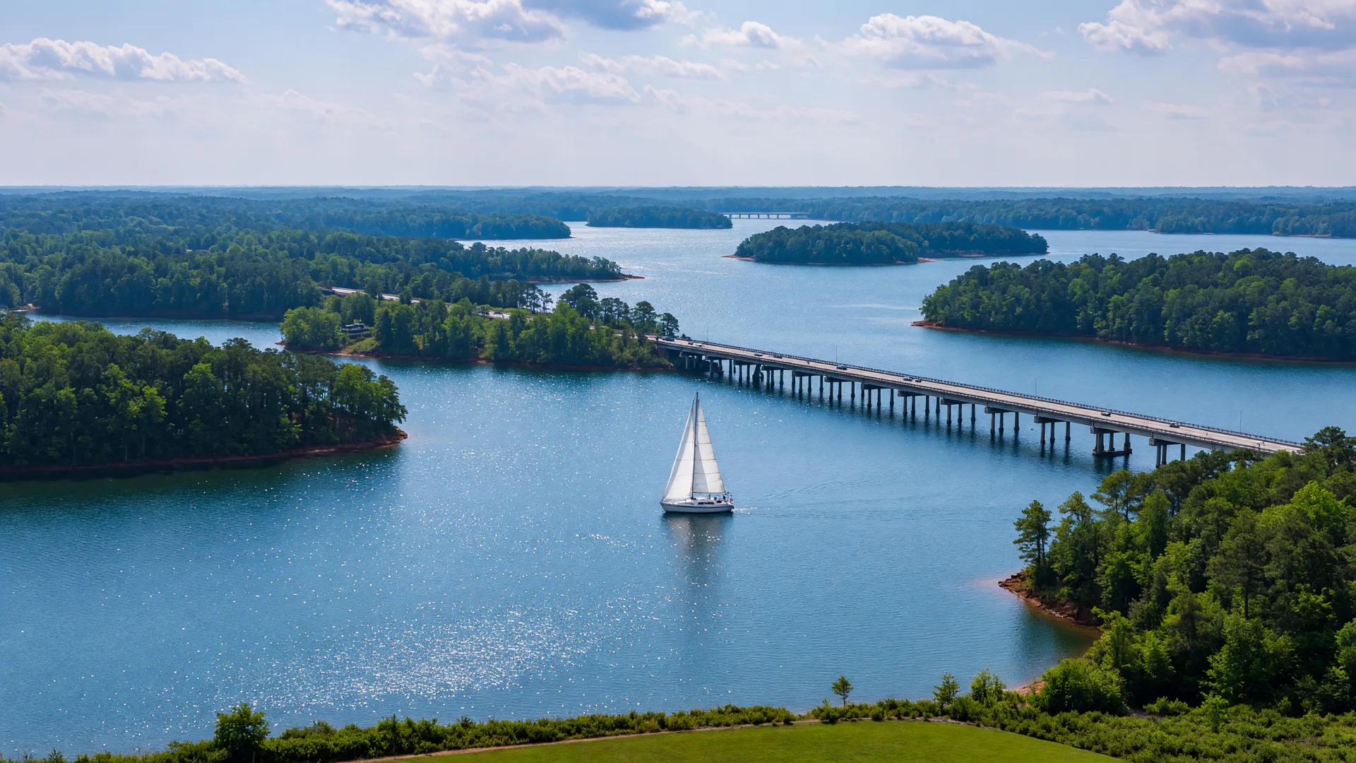 № 01
№ 01 32,500 acres · 520 miles of shoreline
Lake Norman Waterfront
The largest lake in North Carolina. Wide-open main-lake water, deep coves, a full marina culture, and lakeside towns that run from Uptown commuter to country-club.
Open the section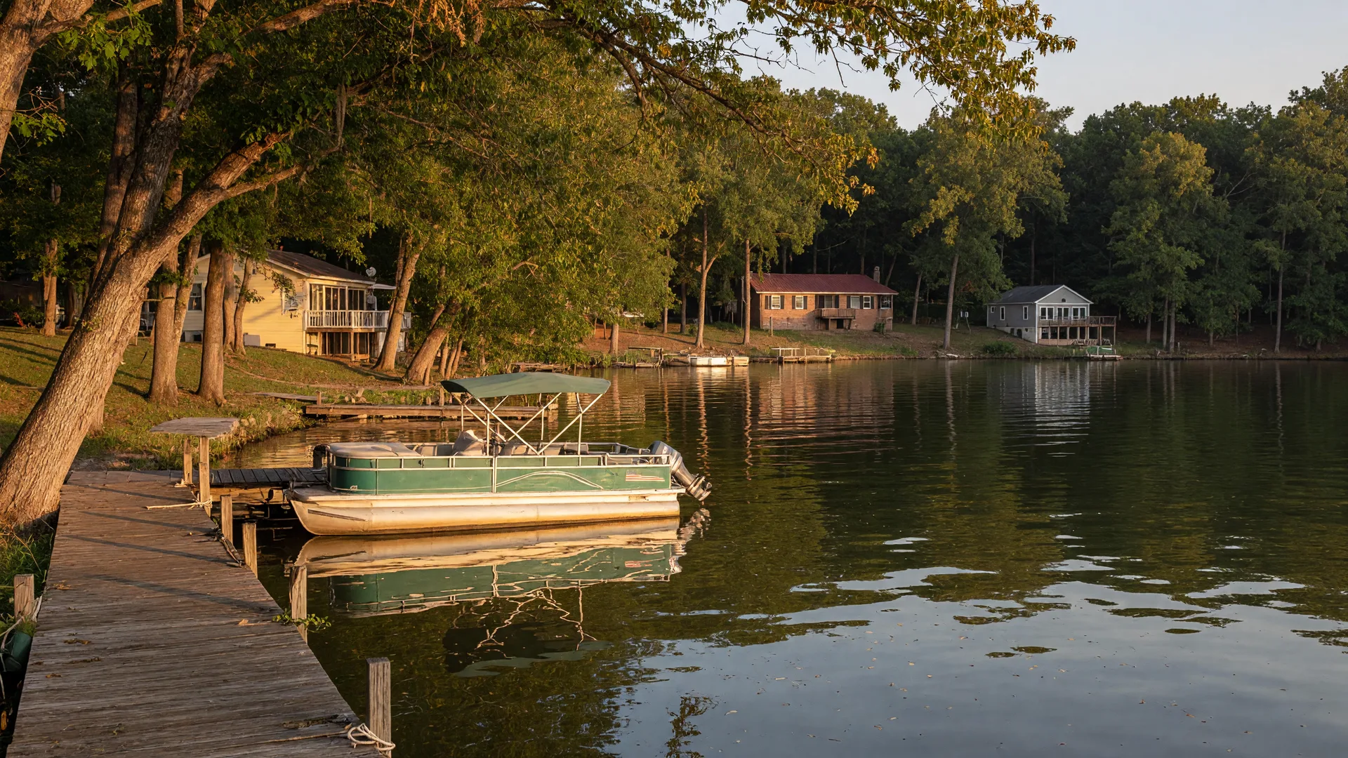 № 02
№ 02 13,400 acres · ~325 miles of shoreline
Lake Wylie Waterfront
Charlotte's oldest reservoir. Mature, tree-shaded shoreline, established lake communities like Tega Cay, and a commute that pulls south Charlotte, the airport and the border counties.
Open the section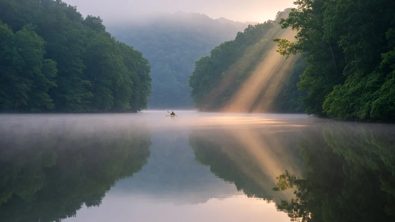 № 03
№ 03 3,281 acres · ~61 miles of shoreline
Mountain Island Lake Waterfront
The smallest of the three Catawba lakes and the quietest by design. A protected drinking-water reservoir with limited supply, deep forest and water access minutes from northwest Charlotte.
Open the sectionWhat carries across all three
The rules do not change at the county line. What a buyer learns on one lake transfers to every dock in the region, and that is the point of one umbrella guide.
Read the full permit guide-
Duke Energy owns the water
Property lines end at the full-pond line on all three reservoirs. A dock is a permitted privilege, applied for through the Lake Access Permit System.
-
The 50-foot buffer is universal
Structures and major grading stay out of the buffer measured from the full-pond elevation, on every lake in the chain.
-
Depth decides the boat
The water at the dock face, at full pool and in a dry year, is the single most under-verified fact on a waterfront listing.
-
Committees and counties pile on
County permits, floodplain checks, HOA covenants and, on some parcels, Army Corps review, sit on top of the Duke permit.
Private consultation
Which lake fits your life?
Tell us your commute, your boat and your timeline. We will match you to the lake, the town and the shoreline that fit, then bring you the listings.
The Petrenko Group · Premier Sotheby's International Realty · 138 Village View Lane, Mooresville, NC 28117.